


Powerful radar system is providing new data on city’s subsidence, which experts hope will draw more attention to it
Walking into Mexico City’s sprawling central Zócalo is a dizzying experience. At one end of the plaza, the capital’s cathedral, with its soaring spires, slumps in one direction. An attached church, known as the Metropolitan Sanctuary, tilts in the other. The nearby National Palace also seems off-kilter.
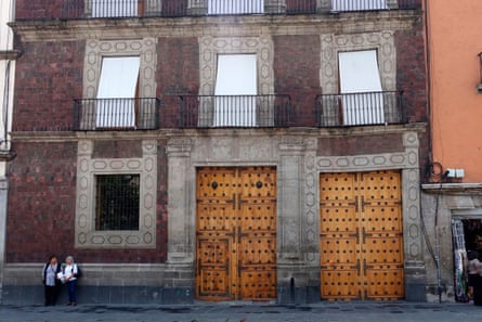
The teetering of many of the capital’s historic buildings is the most visible sign of a phenomenon that has been ongoing for more than a century: Mexico City is sinking at an alarming rate.
Now, the metropolis’s descent is being tracked in real time thanks to one of the most powerful radar systems ever launched into space. Known as Nisar, the satellite can detect minute changes in Earth’s surface, even through thick vegetation or cloud cover.
“Nisar takes radar imaging observations of Earth to the next level,” said Marin Govorčin, a scientist at Nasa’s jet propulsion laboratory. “Nisar will see any change big or small that happens on Earth from week to week. No other imaging mission can claim this.”
Though not the first time that Mexico City’s sinking has been observed from space, the Nisar mission has provided a greater sense of how far the sinking spreads and how it changes across different types of land than any other space-based sensor. It has also been able to penetrate areas on the outskirts of the city that were previously challenging to study because of the complex terrain.
The implications of the imagery extend far beyond the Mexican capital. “This study of Mexico City speaks to the realm of possibilities that will open up thanks to the Nisar system,” said Darío Solano-Rojas, an engineer at the National Autonomous University of Mexico (Unam). “And not just for sinking cities but also for studying volcanoes, for studying the deformation associated with earthquakes, for studying landslides.”


Leave a Reply